Old Katahira-bashi Bridge
From Shiojiri, driving National Route 19 in the direction of Kiso. In railroad terms, this is between JR Hideshio Station and Niekawa Station.
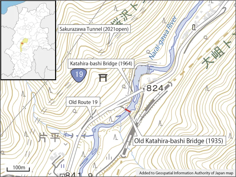
Instead of entering the Sakurazawa Tunnel on Route 19, turn left at the traffic light in front of it. This is the old National Route 19.
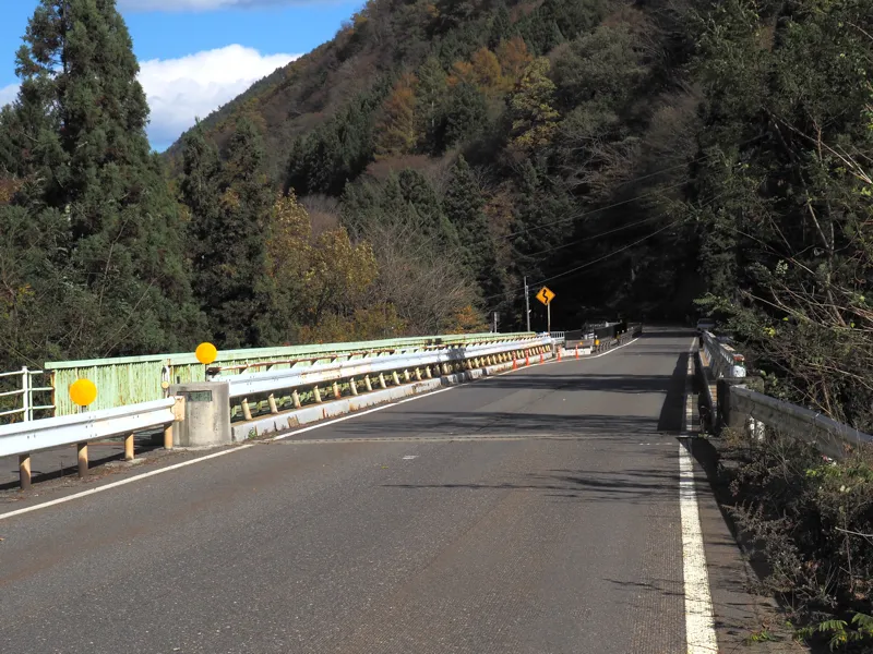
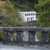
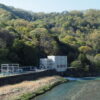
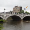
Driving along the old national route, there is abridge called Katahira-bashi Bridge. The photo is looking toward Shiojiri from the southwest.
Near here, the old Katahira-bashi Bridge, which was used as a national route bridge before the Katahira-bashi Bridge was built, still remains.
Surroundings.
This road was a national route until the Sakurazawa Tunnel opened in 2021.
The Katahira-bashi in the first photo was completed in December 1964.
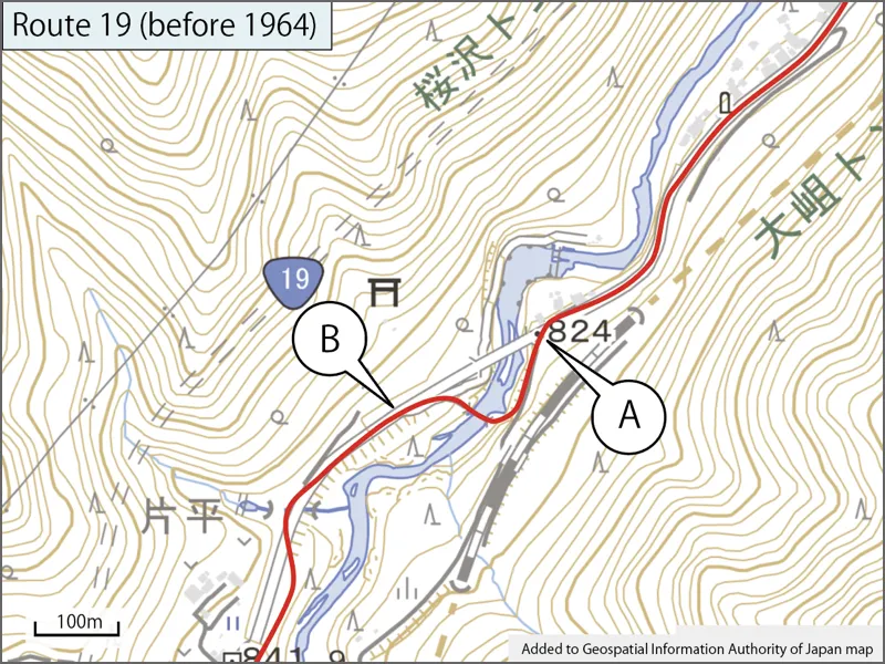
I drew the national road before the Katahira-bashi Bridge was built on the current map.
Let’s start from point A.
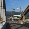
I am at the point A. There is a steep uphill. The height of the old bridge is a little lower than the present Katahira-bashi, so if I go up this slope, I will not be able to connect to the old bridge.
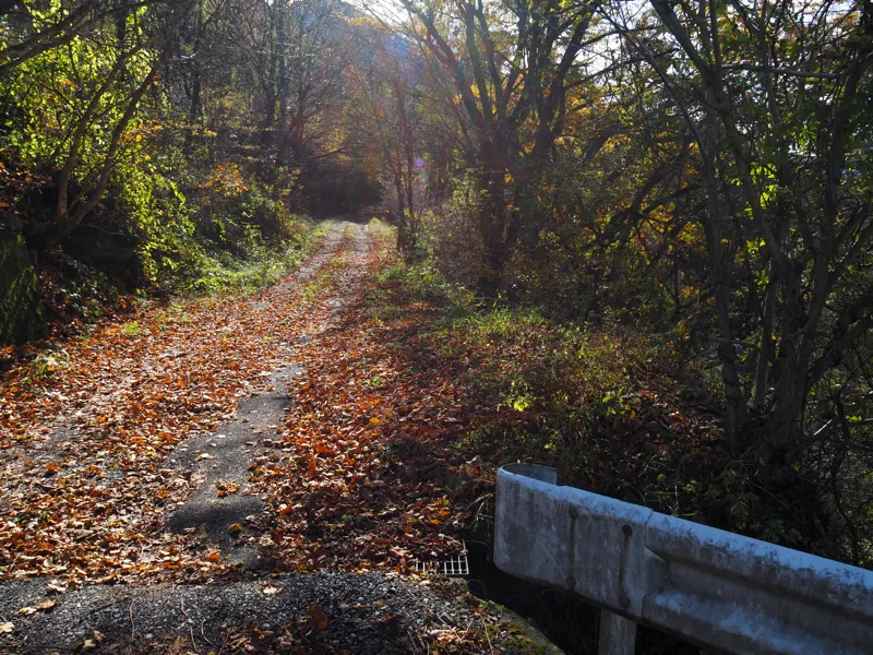
I went up the slope, but the road curves slightly to the right, gaining more and more elevation. The old Katahira Bridge is on the lower right.
Looking at the bank on the right side, I thought I could see a little shoulder of the old road, although it was not clear.
I imagine that the old road was filled in and a slope was built on top of it for the railroad construction.
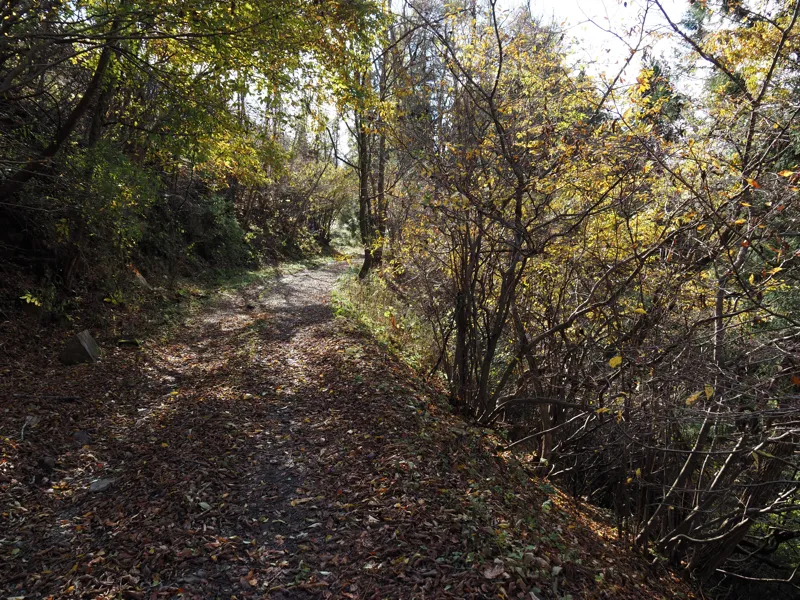
I came to the point where I could look down on the bridge. The bridge is a few meters below the road, which is not clearly visible in the photo.
Since this road does not seem to be the old road, I returned to the old route 19 and moved to point B.
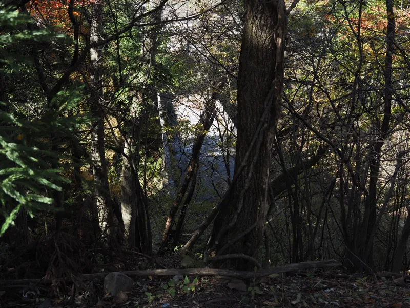
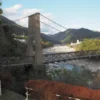
A little before point B, the old Katahira-bashi Bridge was visible from the road.
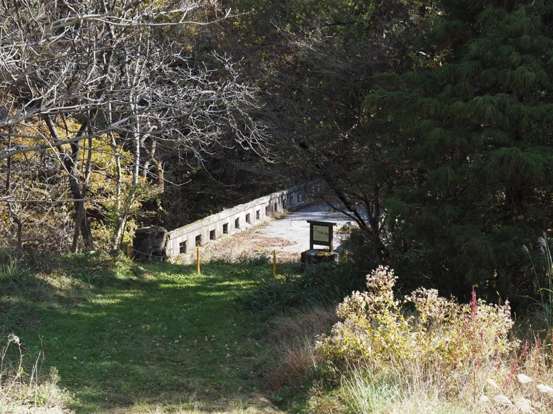
I came to the old Katahira-bashi Bridge. A chain was put up and a “No Trespassing” sign was hanging.
Beyond the bridge is a bank-like slope, and the old road seems to have been buried.
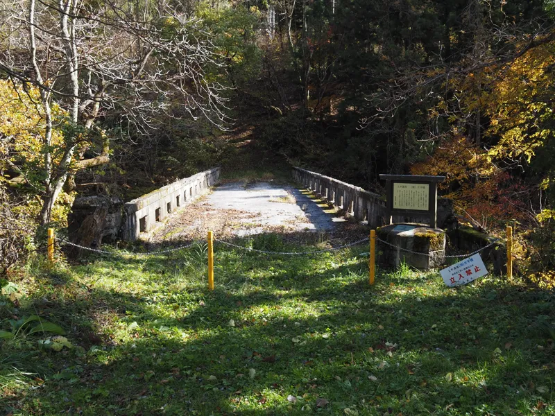
An explanatory board stands beside the newel, and a plaque of civil engineering heritage is attached below.
The following is a quote from the board.
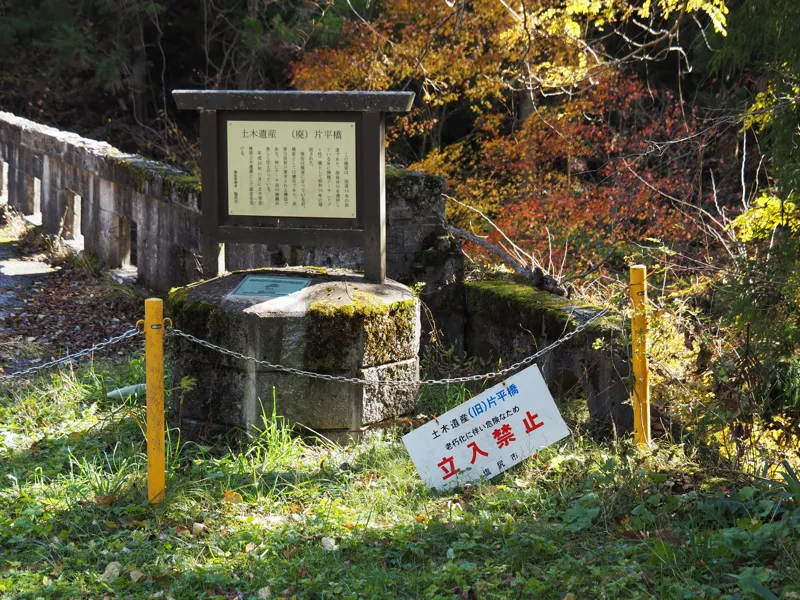
“Civil Engineering Heritage (Abolished) Katahira-bashi Bridge
This bridge is an old road on National Route 19 and was constructed in 1935 as an RC open arch (rib and pillar) bridge crossing the Narai-gawa River.
Although the road is now closed, the bridge is still in good condition, and its structure required advanced technology. The curves of the arches in particular are beautifully finished.
In November 2008, it was recognized as a recommended civil engineering heritage by the Japan Society of Civil Engineers.
Bridge administrator: Shiojiri City"
This bridge was built in 1935.
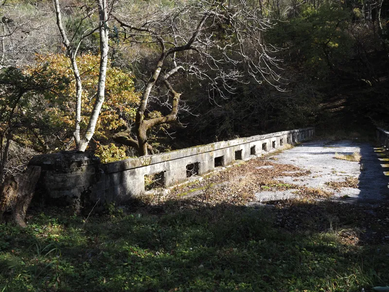
I tried to go down to the riverbank. The slope is so steep that I thought I might not be able to climb up, if I could down, so I hung a rope from a standing tree and used it to get down to the riverbank.
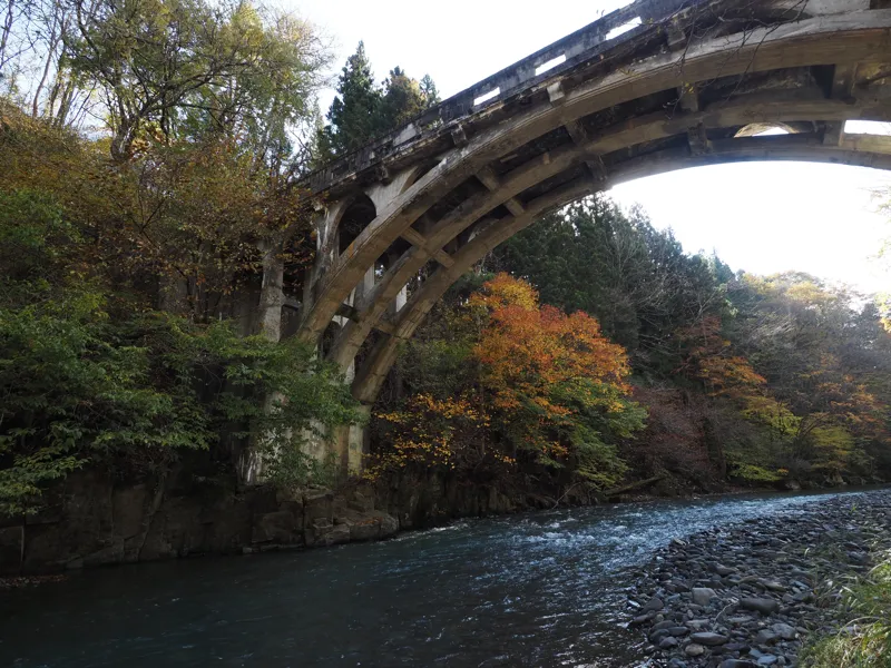
From here, I could see the bridge clearly.
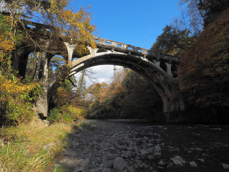
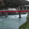
The other side of the river.
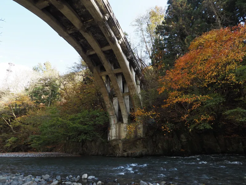
From just below the bridge.
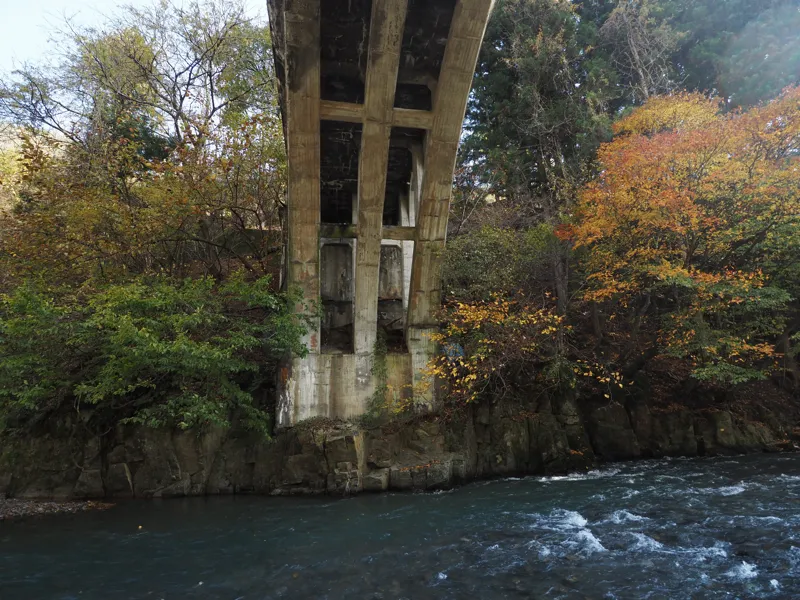
I couldn’t walk any further along the riverbank, so I turned back here.
When I went back to the place where I first came down and tried to climb up the slope, I found footprints on the ground.
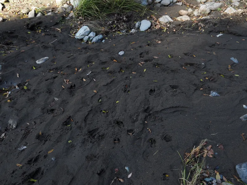
I don’t know much about animal tracks, but I could see a hoof split in two. Could it be a wild boar? Or a deer?
Not wanting to meet them here, I hurried up the slope.
So I finished my visit to the old Katahira-bashi Bridge.
It is good that the bridge is recognized as a civil engineering heritage, but I wonder if they will take care of it in the future.
If it were an active bridge, they would probably maintain it, but to what extent do they intend to maintain an abandoned bridge?
Discussion
New Comments
No comments yet. Be the first one!