Azuma-hashi Bridge
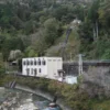
One of the pictures of the Araragi-gawa Power Station that I included in my last article was taken from a bridge.
The name of this bridge is Azuma-hashi Bridge.
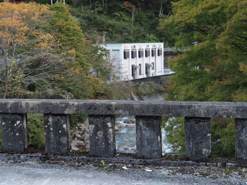
The bridge was probably named after Azuma Village, which was the village before it was merged into Nagiso Town.
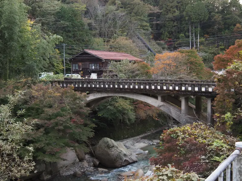
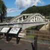
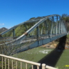
Before crossing the bridge, this photo was taken from the northeast side (right bank of the Araragi-gawa River).
In this photo, the upper reaches of the Araragi-gawa are on the left and the Araragi-gawa Power Station is on the right.
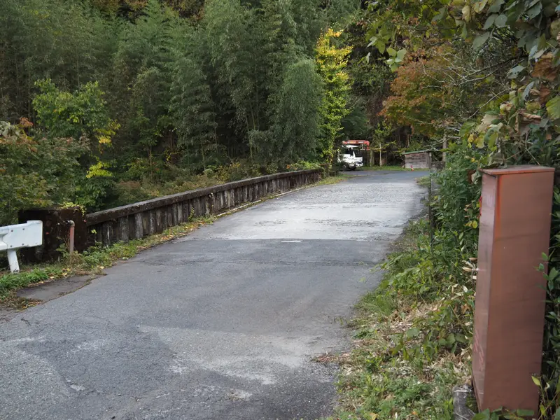
The name of the bridge was found on the spot.
It is written “Azuma Hashi” in hiragana. Crossing the bridge, I looked at the newel on the southwest side and saw “Azuma-hashi” written in Chinese characters.
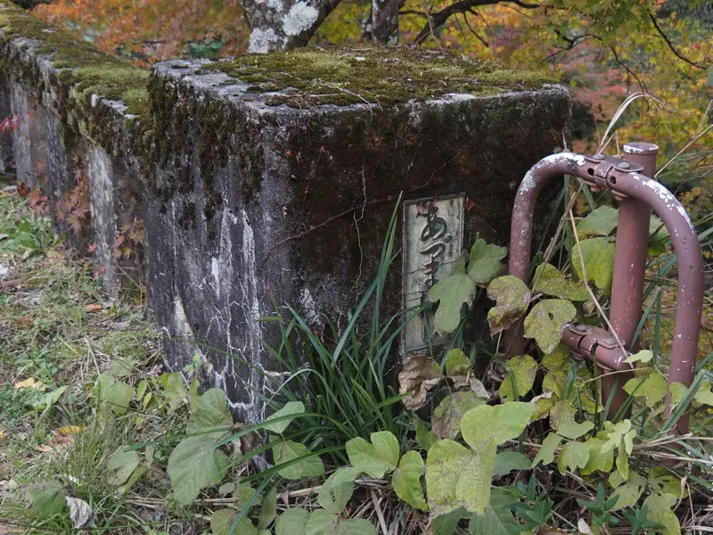
On the other newel on the northeast side, the year when the bridge was completed was written.
It may be difficult to see in the picture, but it reads, “Completed in March, 1953″.
Before I saw it, I thought it might be a prewar bridge, but it was a postwar bridge.
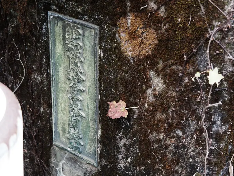
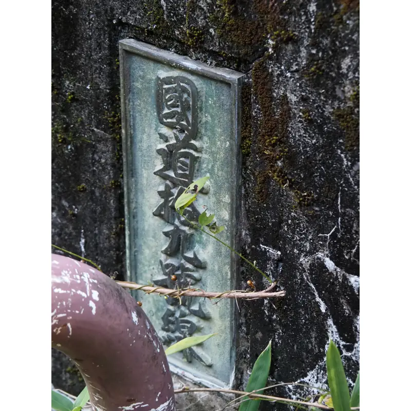
I was surprised to see the last nameplate, which I did not know.
It read, “National Highway Route No. 19″. This bridge was a National Highway 19 bridge.
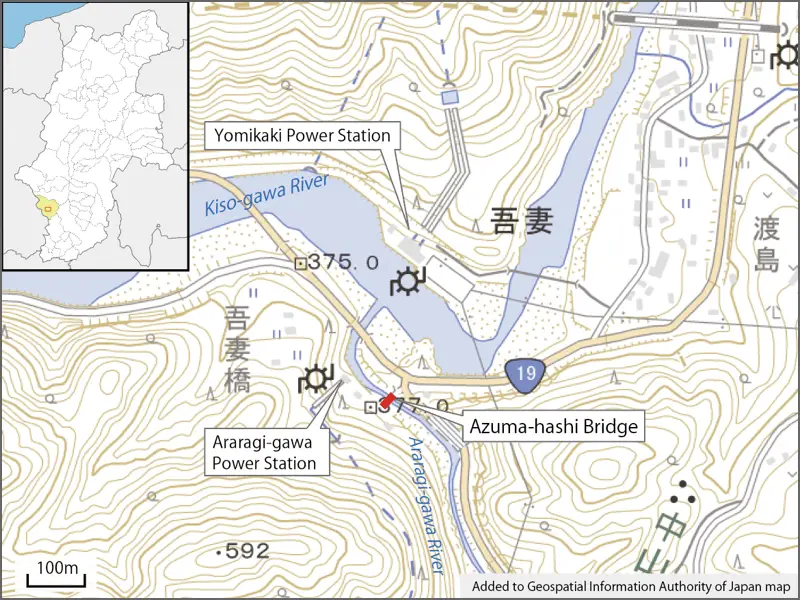
Route 19 now runs as shown on the map, but the intersection here underwent improvements around 1986. How did the road run before the improvement?
I drew a map based on the old topographical map. But the map I have drawn is not a precise map.
I drew the situation around 1965.
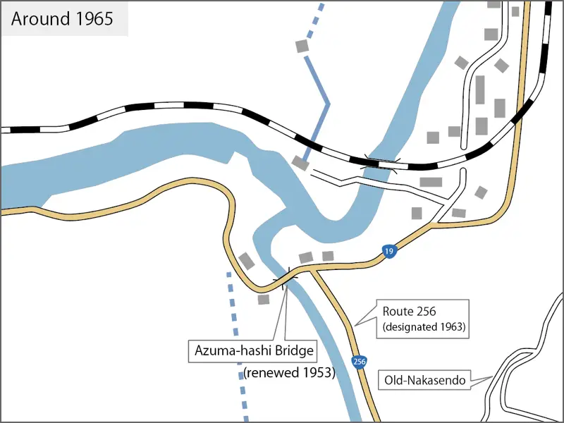
At that time, National Route 19 crossed Azuma-hashi Bridge and went west along the Kiso River, going around the south side of Araragi-gawa Power Station as shown in the map. The road from Tsumago-juku (off the map) in the south to Azuma-hashi Bridge was designated as a national highway in 1963.
The railroad also ran next to the Yomikaki Power Station, not at its current location.
The status of the road prior to that time is also shown in the figure to the extent that it can be seen.
The situation around 1910, the Central West Line had just opened the previous year.
The power stations had not yet been built.
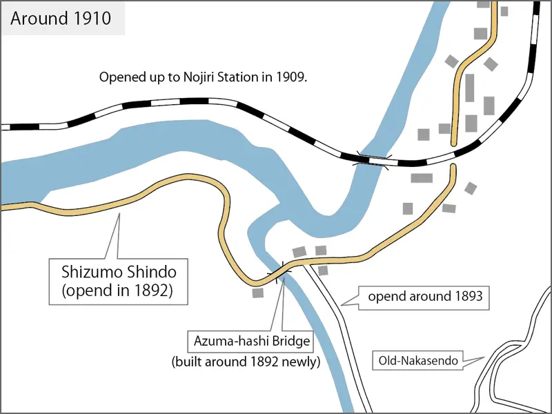
What you should see is a road called the “Shizumo Shindo" (Shindo means “new road"). This road was opened about 20 years earlier from that time.
In 1882, Nagano Prefectural Governor Makoto Ohno submitted a proposal to the prefectural assembly to renovate six major roads in the prefecture to make them passable for horse-drawn vehicles. After deliberation, it was decided to improve seven roads, including one additional route.
The Kiso Road was included in the list, and it was decided to repair Torii Pass and Magome Pass. However, the Magome Pass repair plan was too steep and long, so a new road was to be opened along the Kiso-gawa River. This road is known as the Shizumo Shindo.
The cost of opening the road was covered by government subsidies, local taxes, and donations from local residents. At the time, 2,734 people in Nishi-Chikuma County (later Kiso County) donated money, and the county’s target achievement rate was 98%, the highest in the prefecture. The actual situation was a kind of coercion from the prefecture, though.
Construction of the new road began in June 1890 and was completed in July 1892.
It is said that Azuma-hashi Bridge was also newly constructed when this road was built. (The exact date of completion was not known, so the figure is given as around 1892.)
I have no idea what kind of bridge it was, but it was probably a wooden bridge.
In addition, the name “Azuma-bashi” appears later as the name of the district, so it is likely that the name was also used as the district’s name after the bridge was built.
Azuma Village donated a large sum of money for the construction of the new road in Shizumo Shindo, and the village also purchased land for the roadbed and donated it.
The village also opened a new road from Tsumago-juku to the new road.
What was even more difficult for the village was that the old Nakasendo Road, which had been designated as a national highway, was changed to a local road in 1892. The village had to bear the cost of road repairs.
The number of people traveling on the old Nakasendo road decreased after the opening of the new road, making it difficult for the inns along the road to manage their businesses.
The village requested to the prefecture that the old Nakasendo be designated as a prefectural road, but this request was not granted.
They applied several times, but it was not until 1941 that the old Nakasendo became a prefectural road.
Let us return to the topic of Azuma-hashi Bridge.
We know that the first Azuma Bridge was completed around 1892, the time that the new low road was opened to traffic.
What was the status of the bridge after that?
Records show that in 1904, a mudslide occurred in the Araragi-gawa River and the Azuma-hashi Bridge fell down. After the washout, the bridge would naturally have been rebuilt.
In 1953, Azuma-hashi Bridge was replaced by a new bridge on Route 19, it maybe was the third generation bridge.
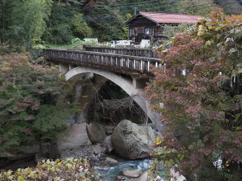
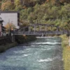
This is a view of the Azuma-hashi from upstream. The building in the back is the office building of a private company, and the only people who currently use Azuma-hashi Bridge are probably the employees of this company and the staff who go to the power station.
I also walked through the passageway in front of the company building to see the power station, but I was concerned because it looked like private property, not a road.
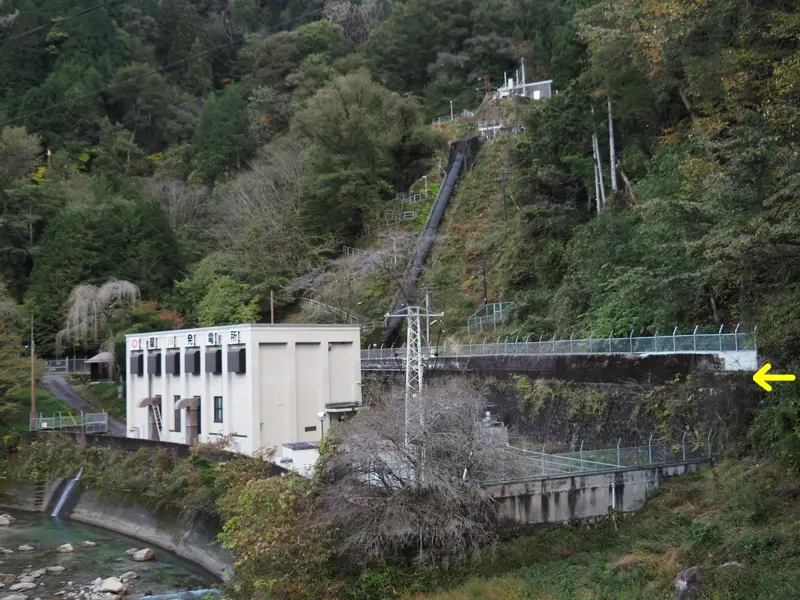
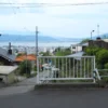
Finally, here is a photo of the Araragi-gawa Power Station as seen from the current Route 19.
I suspect that the location indicated by the arrow is probably the site of the old national road.
[Reference]
“Nagiso Town History, Overview of History" (Nagiso Town History Compilation Committee/1982)
“Nagiso Town History, Materials" (Nagiso Town History Compilation Committee/1982)
Discussion
New Comments
No comments yet. Be the first one!