Kakizore Aqueduct Bridge
Driving south on National Route 19 from the direction of Shiojiri, you will enter Nagiso Town from Okuwa Village. About 1.5 km south of the town/village boundary, you will see a sign to Kakizore Gorge. Turn right there and cross the Kakizore-bashi Bridge, and you will soon see the Kakizore Aqueduct Bridge.
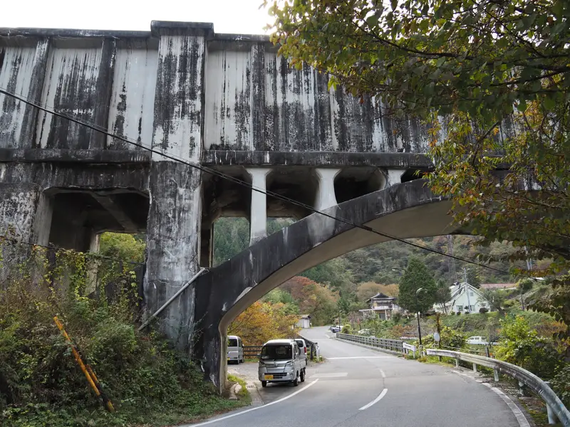
This is the Kakizore Aqueduct Bridge.
An explanatory sign is posted near the bridge.
The text is the same as that on the Important Cultural Property board at the Yomikaki Power Station. The text is the same, but a separate diagram is drawn for each facility.
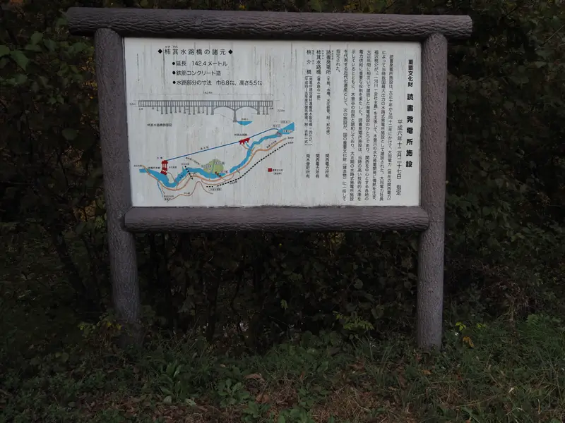
This diagram is easy to understand, so I will use it for the explanation.
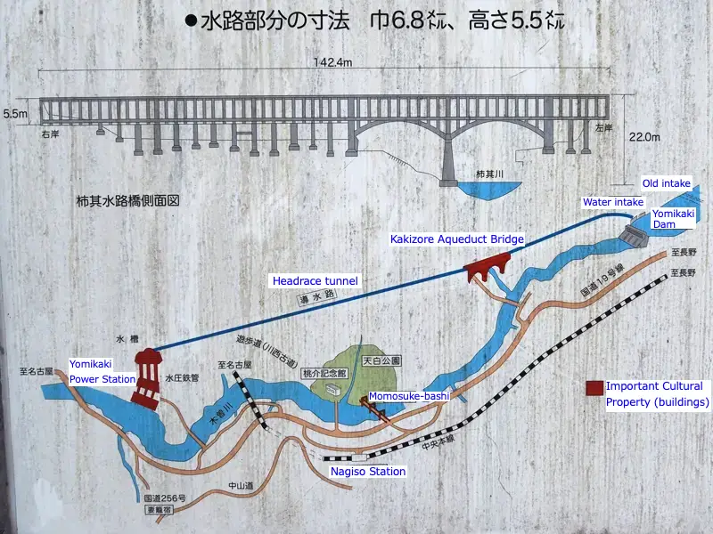
At the time of completion of the Yomikaki Power Station (1923), there was not Yomiukaki Dam yet. A weir was built a little upstream of the current dam and water was taken from there. This is the reason why the figure shows the “old intake".
When the dam was built, the intake was replaced with the present one, but downstream is the same as when it was built.
The water taken in from the intake flows through a tunnel to the power station, crossing the Kakizore-gawa River on the way by a aqueduct bridge.
According to the signboard, the aqueduct is a reinforced concrete structure with a length of 142.4 m and a width of 6.8 m and a height of 5.5 m.
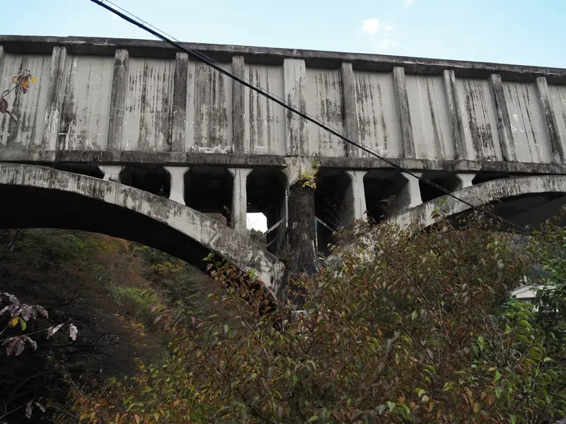
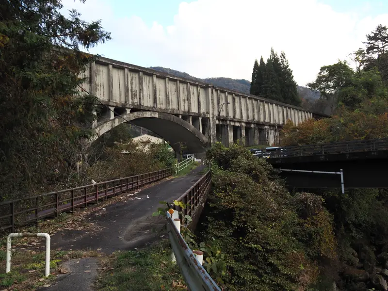
The next photo was taken from the west side after passing under the aqueduct bridge. The 5.5-meter-high wall of the aqueduct stands out prominently, giving it a more oppressive impression than the road bridge. It gives the impression of being more massive than I expected.
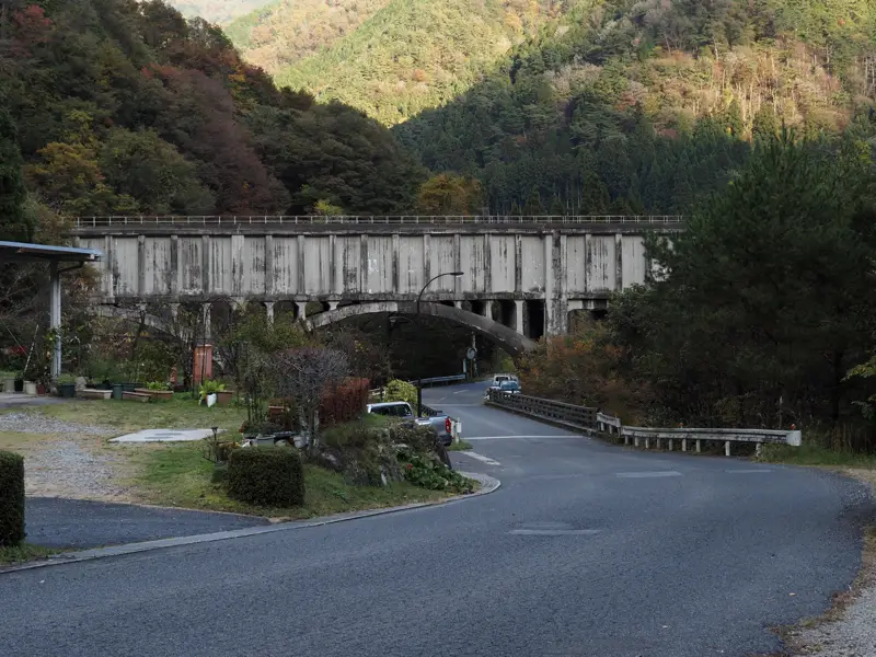
Now, let’s take a look at the aqueduct.
The road bridge in front of us is the Shin-Aoki-bashi Bridge, completed in 1997.
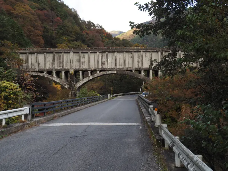
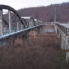
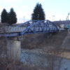
In fact, the older road bridge before the Shin-Aoki-bashi was built still remains. This is the older bridge seen from above the Shin-Aoki-bashi.
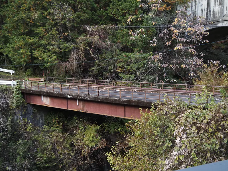
The aqueduct bridge seen up close.
There is a slope next to the aqueduct, and if one climbs up the slope, the top of the aqueduct is likely to be visible. I turned around while walking up the hill and took this photo.
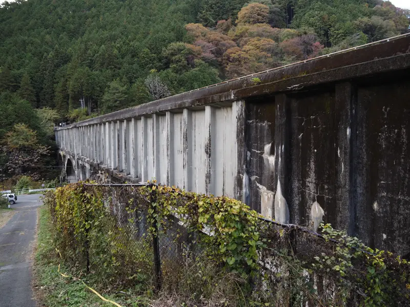
After climbing up the hill, we will see an open space like a sports ground, and the aqueduct goes underground here.
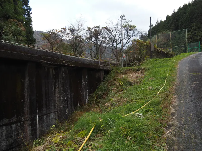
Looking back, we can see that we are standing at the same level as the top of the aqueduct. But of course, it is off-limits.
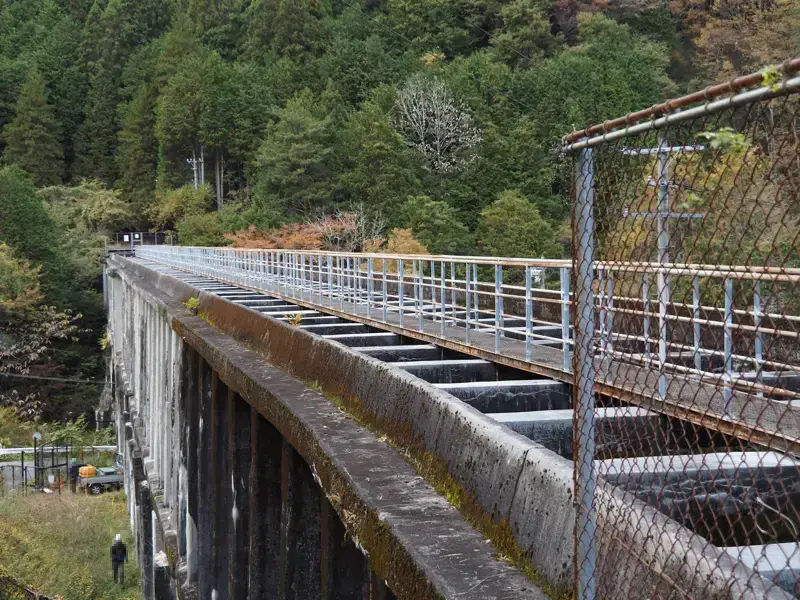
Even if we do not enter the off-limits zone, we can see the surface of the water by walking along the side of the open space.
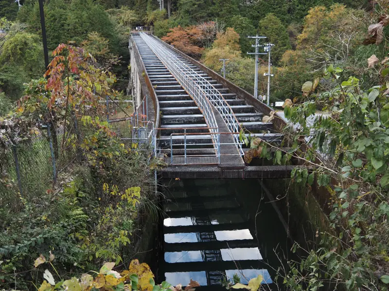
I moved a little to the side.
Only the part of this 142.2-meter-long aqueduct is above ground. The water way of the back and front parts of the bridge are both underground.
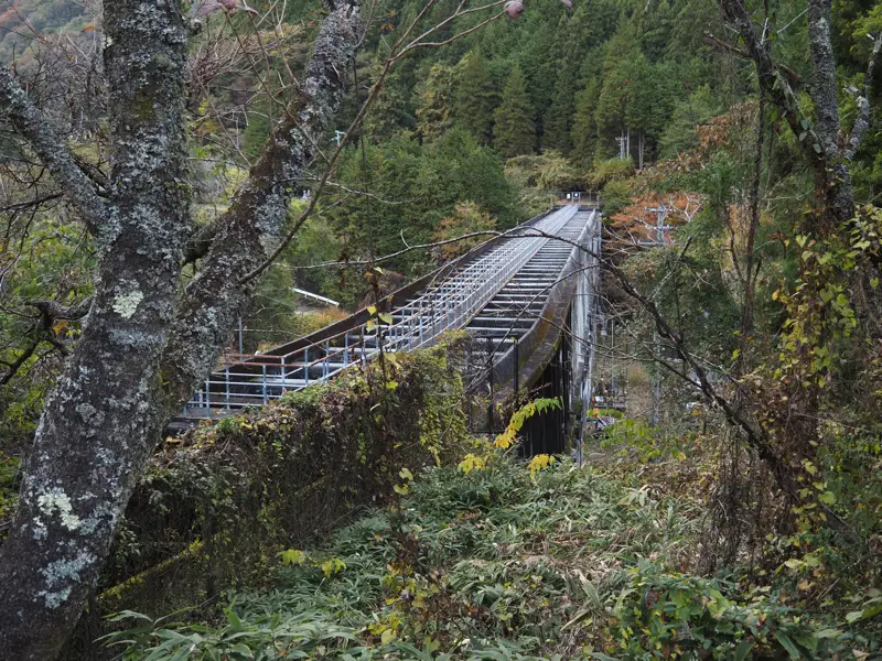
After the tour of the upper part, I walked down the slope.
The lower part of the aqueduct is also fenced off and off-limits.
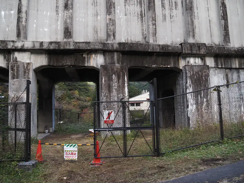
Finally, I crossed the older bridge. The older bridge was closed to vehicles, and the non-bridge portion of the road was used as a parking lot for construction vehicles.
Discussion
New Comments
No comments yet. Be the first one!