Goryokaku Observatory
On the north side of the main gate of Tatsuoka Castle, there is the “Goryokaku Deai-no-Yakata", an exhibition and rest room. On the site, there is a walking map of historical sites that the Tourist Association has built.
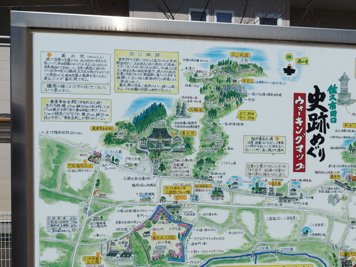
According to the map, the ruins of Taguchi Castle are located on the mountain north of Goryokaku, and there is an observation deck nearby. The map said it would take 30 minutes uphill and 25 minutes downhill to reach the observatory, so I decided to go there.
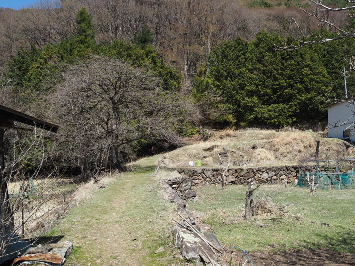
A short walk from the Deai-no-Yakata, there is a walking path that leads from the road. A sign was attached to the fence of a private house.

After passing between houses, the path leads between fields and soon comes to a mountain.
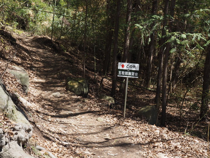
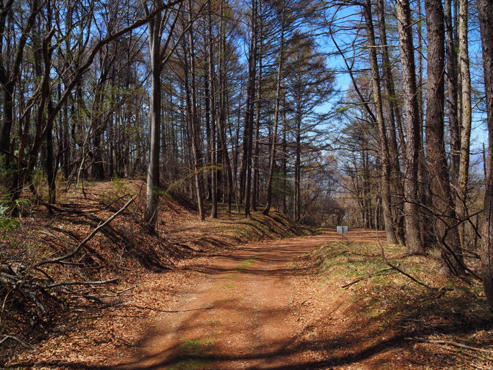
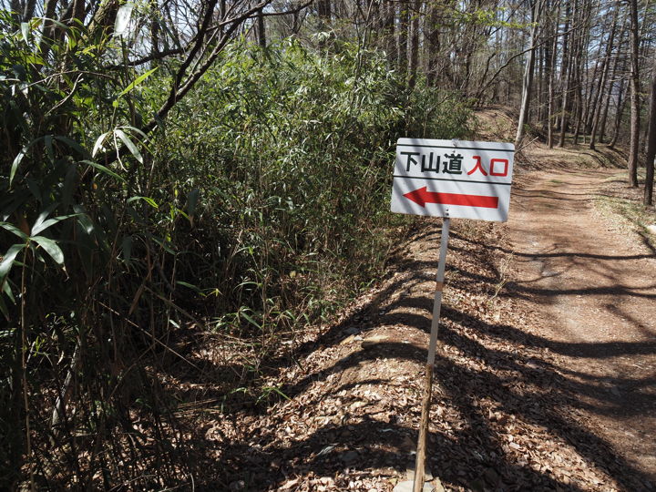
The road becomes a mountain path. Signs like this are posted at several places.
There are graves ahead, and I walk between them.
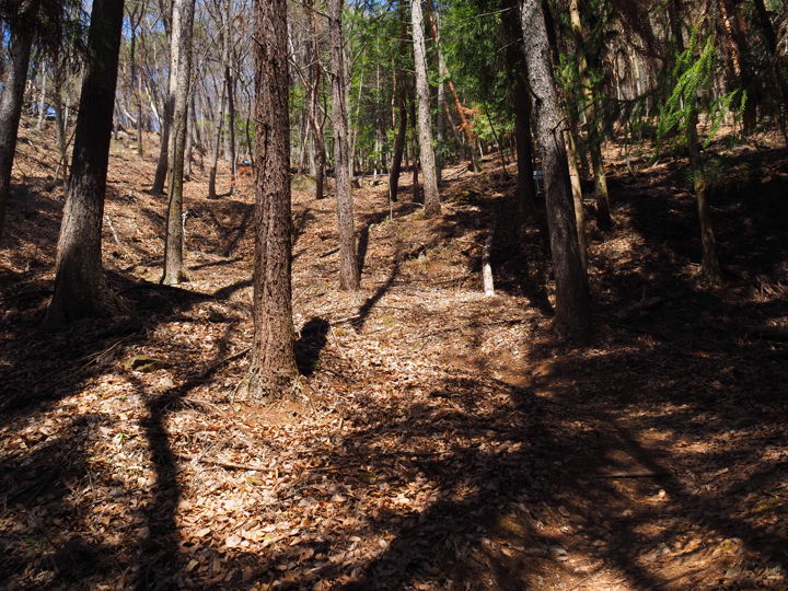
Walking among the trees. I am still 4-5 minutes into the climb.
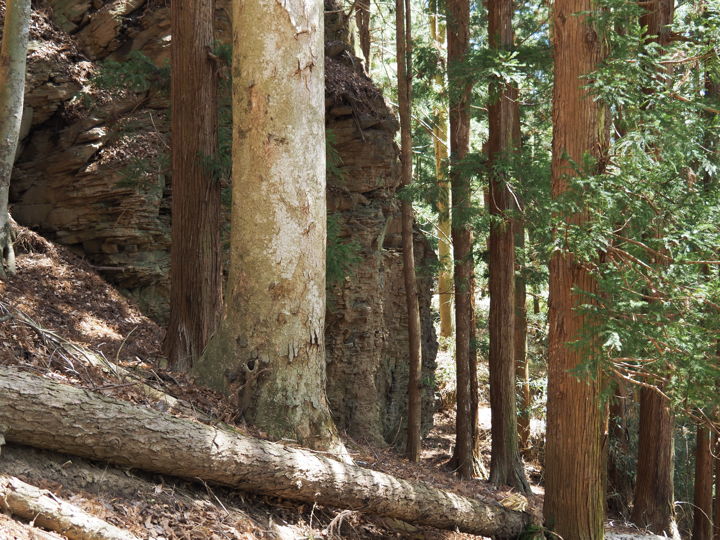
I walked for about 15 minutes. Behind the trees, I could see a rocky cliff. It seems that the observatory is at the top of this rock.
About two minutes from the side of the cliff, I reached a forest road. The direction to go is right (uphill), but when I looked to the left, I saw a sign that said “parking lot". It seems that one can come here by car. However, the forest road is narrow and steep, so I have no intention of coming by car.
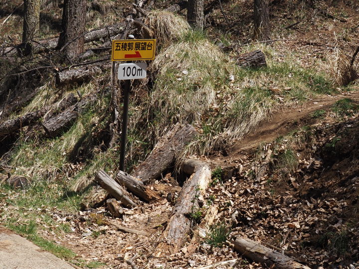
Just a little further up the forest road, there is a sign that says “100m to the observatory". From here, take the mountain road on the right.
I heard that the Taguchi Castle ruins were located straight ahead on the forest road, but I was already tired, so I did not go to the castle ruins.
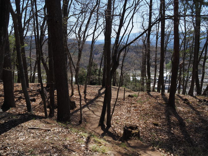
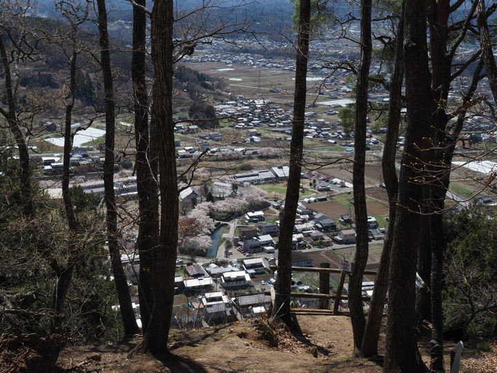
I could see the view in the distance. Almost there.
This is the observatory. There is a wooden fence and a “Danger! Don’t touch the rocks" sign is attached to the fence. I am not good at heights, so I stay away from it. The fence is leaning.
It took me about 20 minutes to reach the observatory.
I don’t feel like touching this wooden fence. There is a bit of wire strung up, but I wonder if it will help?
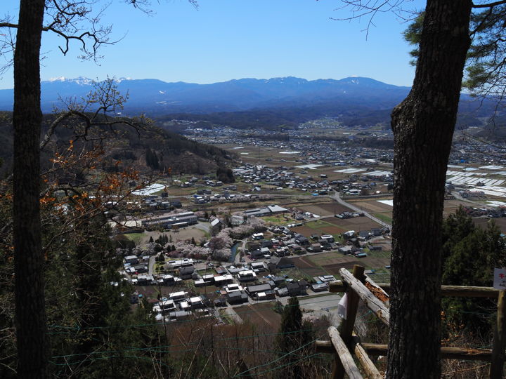
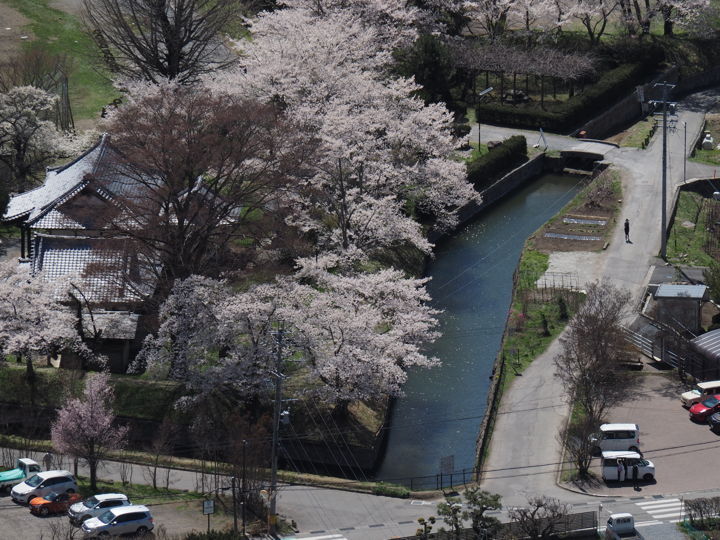
We can see the entire Goryokaku. It is said to be a Western-style castle with a battery, but since the enemy can look down on it, I think it was built as a hobby rather than for actual battle.
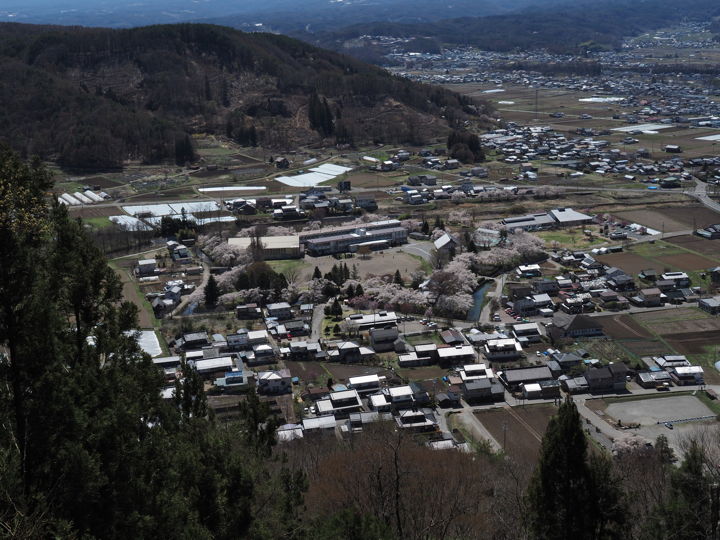
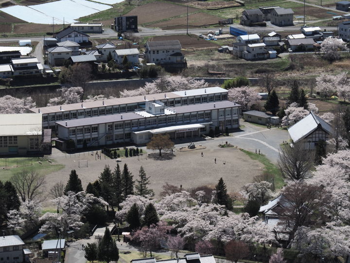
Zoom in. The former Taguchi Elementary School building is also clearly visible.
If Saku City removes the school building, we may not be able to see this scenery in the not-so-distant future.
The moat is also clearly visible. The bridge is a stone bridge at Kuromon-guchi. The tiled roof on the left is Taguchi Shokonsha Shrine.
Returning to the path I had walked. There is a sign “Entrance to the descending mountain path" by the side of the forest road, so I descended there. Since I was going down the same path, I will not post pictures of the return trip.
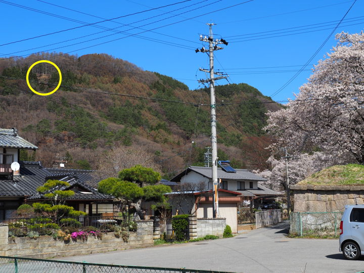
After descending the mountain, I returned to the parking lot. Looking back at the mountain I climbed. In the yellow circle, the brown area between the trees is the observatory.
This was the first time for me to climb Goryokaku Observation Deck. It had been a long time since I had hiked in the mountains, so my muscles ached the next day.