Third year of flood damage – Naganuma, Nagano (2)
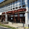
About 100 meters west of the Naganuma Branch Office, I saw this building.
At the gate, there was a sign that said, “You may enter until the middle." so I went inside. As soon as I entered, I found explanation boards on the left wall.
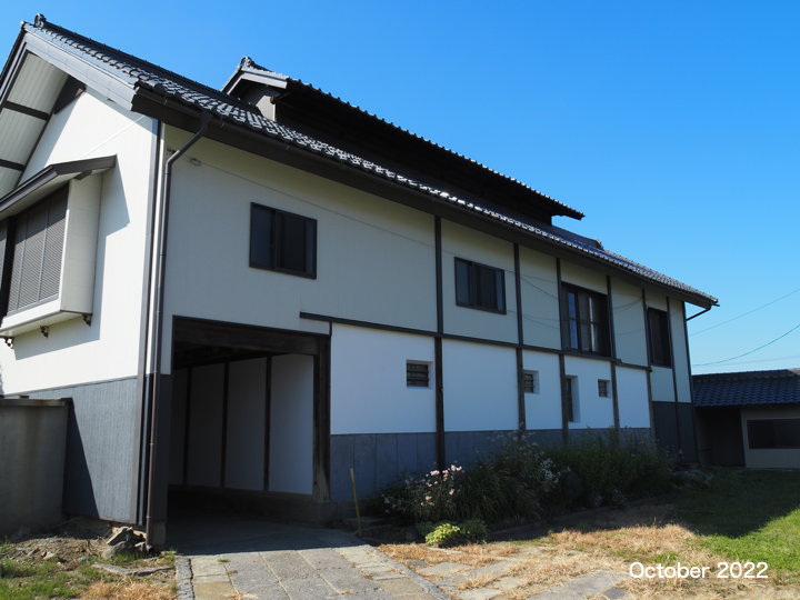
According to the sign, this is the nagayamon-gate of the Yonezawa residence. The Yonezawa was a family that served as the village headman during the Edo period. This nagayamon-gate was built in 1893, and the main house in the back was built in 1818.
It is said to have withstood the Zenkoji earthquake (1847) and Naganuma earthquake (1941), and to have experienced more than a dozen floods.
The “General Incorporated Association for the Preservation of the House in Naganuma of Shinano" (established in 2021) is restoring and reconstructing the building. The group has been active since 2020, before the establishment of the association, and had been restoring the mud walls in workshops with volunteers.
The main house was located in the back, but it seems to be a work in progress.
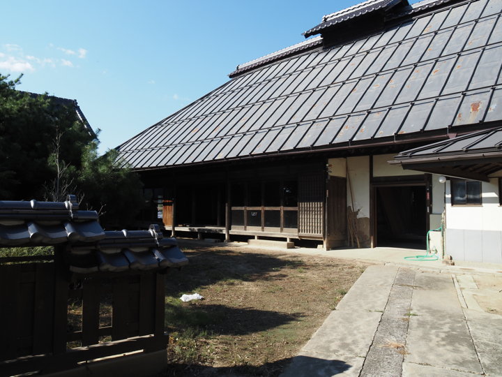
We can see photos and explanations of the building on the website of the Association for the Preservation of the House in Naganuma of Shinano. (Written in Japanese)
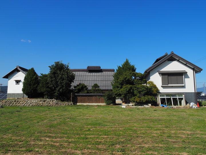
Yonezawa Residence seen from the south.
A few dozen meters south of the Yonezawa Residence, I saw this building. According to the sign, it seems to be a temple called Kichijo-an, which is a branch temple of Myosho-ji Temple. It has not been repaired yet and is covered with plastic sheets.
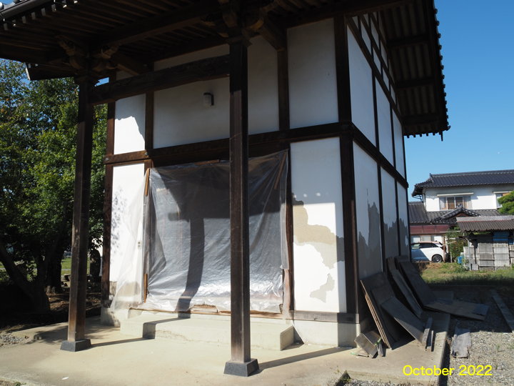
An explanatory board about Naganuma Castle is also posted here, and it seems that this area used to be a samurai residence when Naganuma Castle existed (from the late 16th century to the late 17th century?).
About 500 meters south of there is the Hoyasu Public Center.
An electric pole here displayed a flood forecast.
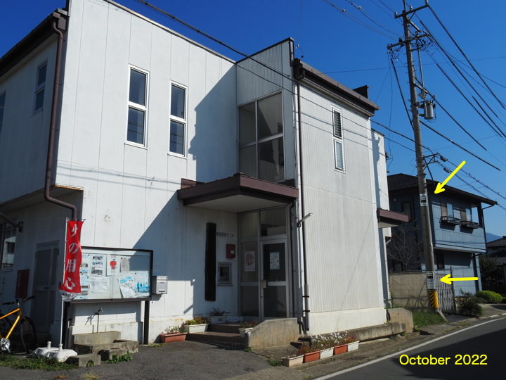
The sign read, “5.0m or more, estimated inundation depth, this location may be inundated up to 10.0m if the Chikuma-gawa River overflows. Nagano City / Chikuma-gawa River Office."
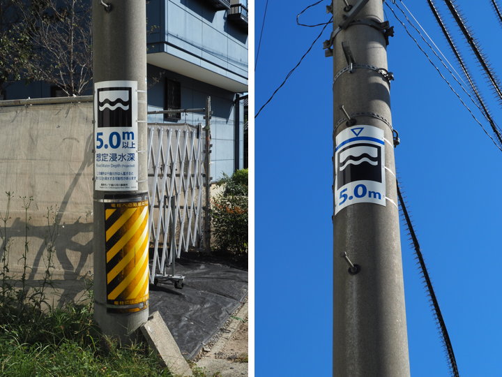
Street View shows that this sign does not appear in the image taken in 2014, so it must have been installed after the flooding.
In the Naganuma area and the Toyono area to the north of the Naganuma area, it is said that land prices have dropped significantly. Some persons who wanted to buy land sometimes refused to sign contracts when they heard that the land had been damaged by the flooding.
I watched a local Shin-Etsu Broadcasting Co. news report on the Internet, in which the head of the Naganuma district said,
“There are more vacant lots now."
“I don’t think we should let the facts of that disaster fade away. We have a mission to tell the story and pass it on to the next generation."
“We cannot possibly increase the number of people living here. We are looking for ways to interact with the outside people. We want to think about what we can do now for the next generation.
(From Shin-Etsu Broadcasting Co. October 13)
The last photo shows a shopping mall on Route 117, about 2.6 km north of the Naganuma Branch Office, which is undergoing renovation with the aim of opening in 2023.
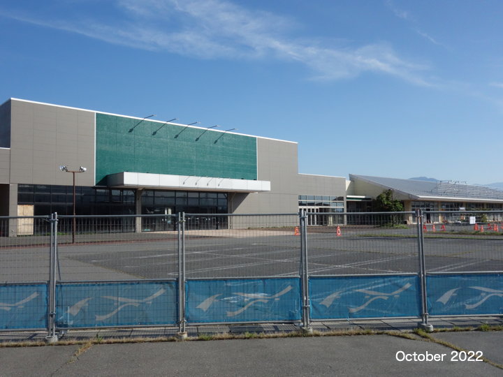
I hope that the area will be revitalized.
Recent Comments