The second visit to “Jikkasegi ” (2)
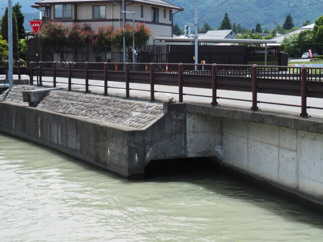
A fine day at the end of May. I started from the water outlet of “Jikkasegi" and went upstream. There is almost no difference in elevation between the two weirs, so the flow of the water is very slow. The waterway is built almost horizontally, so the flow of water is slow and steady.
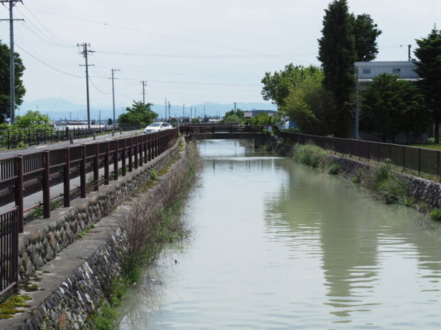
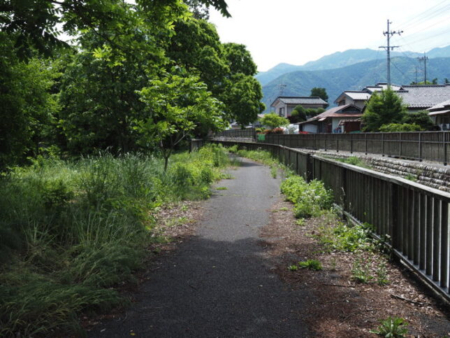
I was riding my bicycle along the Azumino Yamabiko Cycle Track.
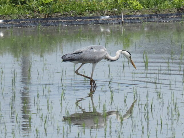
There was a blue heron in the paddy field. I saw several blue herons that day.
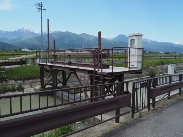
This point is about 2.4 km from the water outlet. There was Kashiwabara Adjustment Weir.
About 300 meters from there, the cycle track crosses a bridge and moves from the right bank to the left bank.
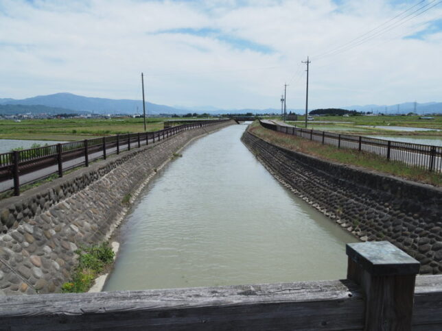
Looking upstream from the bridge.
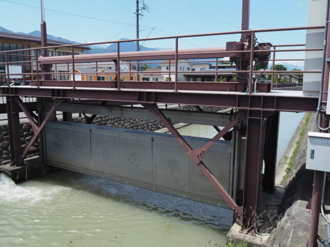
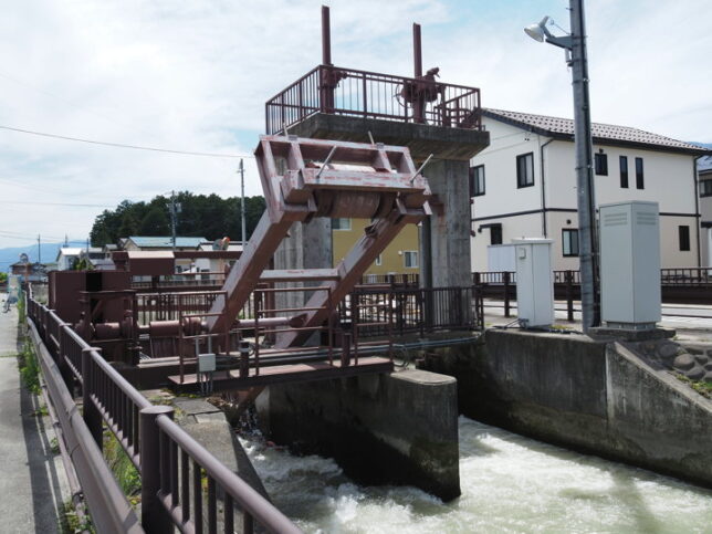
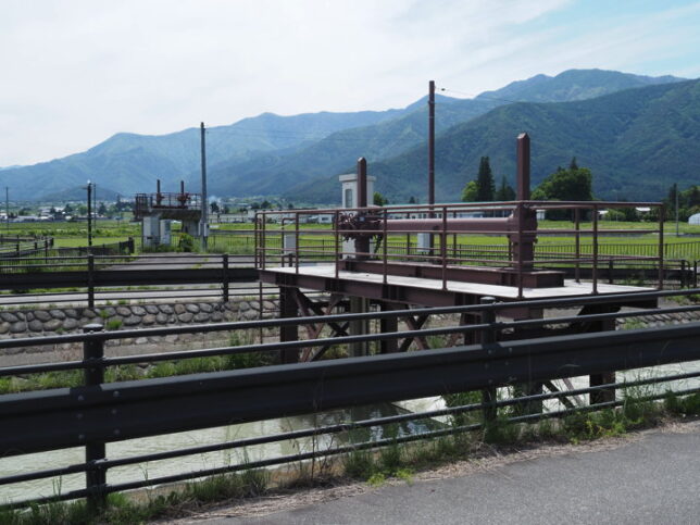
Next came the Kurio Adjustment Weir. The height of the water surface was different before and after the weir.
On the bridge just in front of the weir, there was a sign that said, “Completion: March 2000".
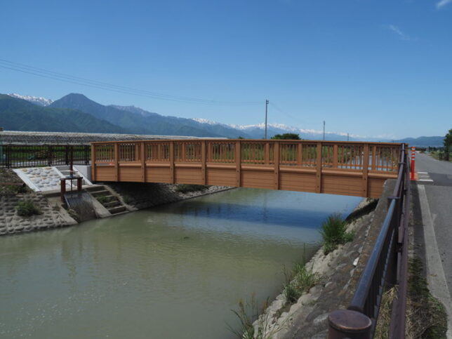
After crossing the Sakai-bashi Bridge, the cycle track returned to the right bank. This bridge is new.
About 4km from the water outlet. Here is the Shimohori Adjustment Weir.
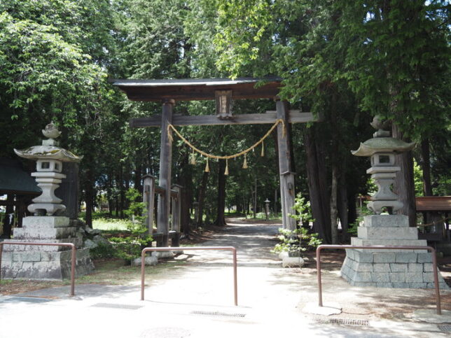
Nearby is the Shimohori Ogimachi Suwa Shrine. On the other side of the waterway is Shimohori Park.
About 1.3 km south of Suwa Shrine is a shrine called Kitaura Suwa Shrine.
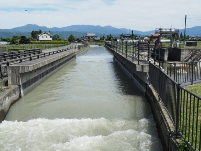
This point is probably where the other waterway joins. This photo was taken facing upstream. According to the guide map, I think this is where the Shinbori waterway joins, but I haven’t checked properly.
I came to the front of Kitaura Suwa Shrine.
For some reason, the grass was still growing here. But it wasn’t a problem to ride bicycle. It was just a short section.
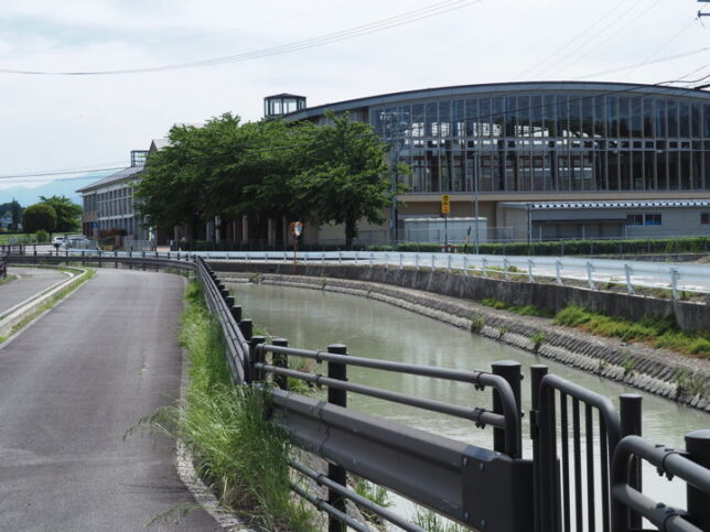
As I passed through the trees, the view widened and I could see Horigane Elementary School in front of me. At this point, the waterway turns to the left. (From upstream, it turns to the right.)
This point is called “Omagari (Big bend)".
At the Omagari (a little upstream), there was another waterway that joined the Jikkasegi.
I could not confirm the name of this sluice. Perhaps the nameplate is on the other side of the waterway.
There was only a little more of today’s planned course left.
I passed one more sluice gate. This photo was taken facing downstream.
Mt. Jounen can be seen beyond the waterway.
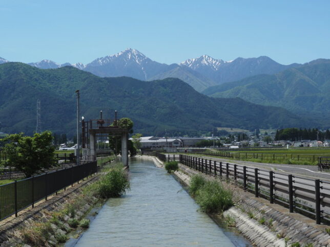
I arrived at the place where I saw the scenery last year. This is the point where the Yorozui-gawa River and Jikkasegi are crossing. Now I could go through the whole of Jikkasegi together with last year’s visit.
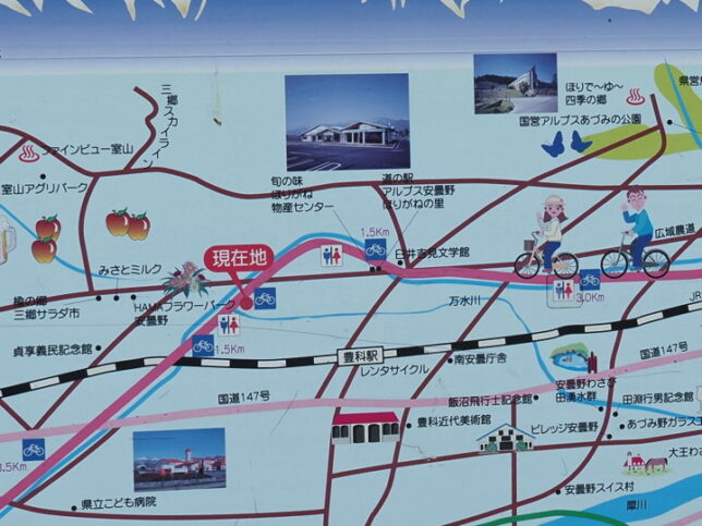
I took a picture of a nearby information board.
I saw two monuments. A monument commemorating the 200th anniversary of the opening of the waterway and a monument commemorating the registration of the waterway as a World Irrigation Facility Heritage Site. The text of the monument can be found in last year’s blog, so please have a look there.
I came back to the roadside station where I had left my car. Since I used the parking lot, I should to do some shopping. (I bought some tea too before I started.) It was already past noon, so I decided to have lunch here.

Roadside Station “Horigane no Sato" is also the starting point of the cycling course set up by Azumino City. Currently, there are three different courses.
Course A includes most of the Azumino Yamabiko Cycle Track along the Jikkasegi and goes around along the Saigawa River. (about 30km)
Course B is focuses on the Misato area, with the Gimin Memorial Museum and Azumino Winery apparently on the route. (About 21km)
Course C takes you from the roadside station down to Jikkasegi and then around the foot of the mountain, where you can visit Ariake Shrine and the national Alps Azumino Park (Horigane and Hotaka areas). (About 32km)
However, please be careful of the traffic as all routes except for the Azumino Yamabiko Cycle Track are not for bicycle only.
But it is hard to me to ride 30km.
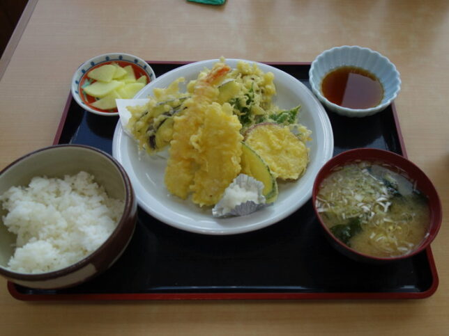
For lunch, I decided on the daily set meal. This was the menu for the day. It was a bit too much for me. I enjoyed it very much.
Now that I had lunch, I will drive to the Toyoshina Folk Museum. Because it was the day that they were going to show the recently discovered pictorial map of Jikkasegi.
(To be continued)
[Reference]
Azumino Cycling Course" (from the official website of Azumino City)