Cycling along the Yabarasegi (1)
There are many irrigation canals in Azumino, and one of them is the Yabarasegi Canal.
It was completed in 1654. It is said to be the first horizontal canal that took water from the Saigawa River. (Waterways that channel water vertically down a slope have existed since the Middle Ages.)
The waterway follows the contour line to near Hotaka Shrine and is said to be 8.3 km long in total.
After cycling to Jikkasegi Canal for flower viewing in the morning, I cycled to the intake of Yabarasegi Canal after lunch.
There are four stone monuments here. (Three of them are shown in the photo.)
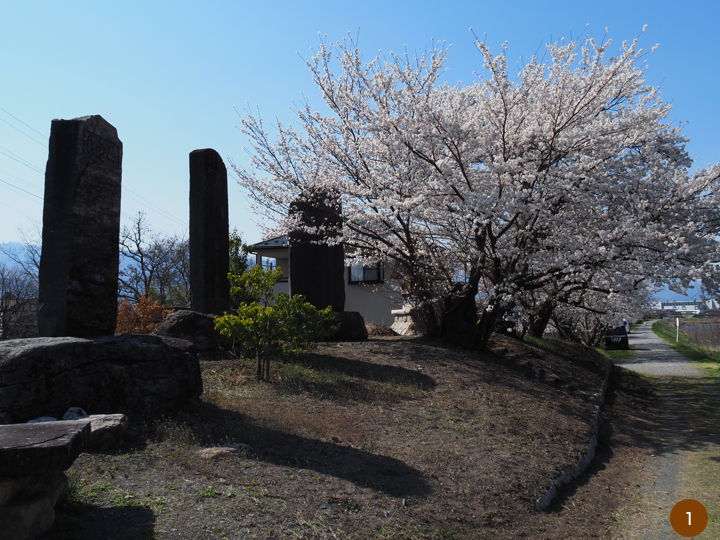
The innermost one is a monument to Yasaburo Usui, who made a great effort to open the Yabarasegi. It was erected in 1936.
The next is a monument commemorating the completion of the Yabarasegi Canal prefectural improvement work. It was erected in 1974.
The monument in the foreground was erected in 1992 to commemorate the completion of the waterway modification associated with the construction of the Toyoshina Interchange, which was completed in 1988, and the subsequent field improvements.
Although not included in the photo, there is also a smaller stone monument explaining the history and culture of the area, erected by the local history and culture research committee in 2008.
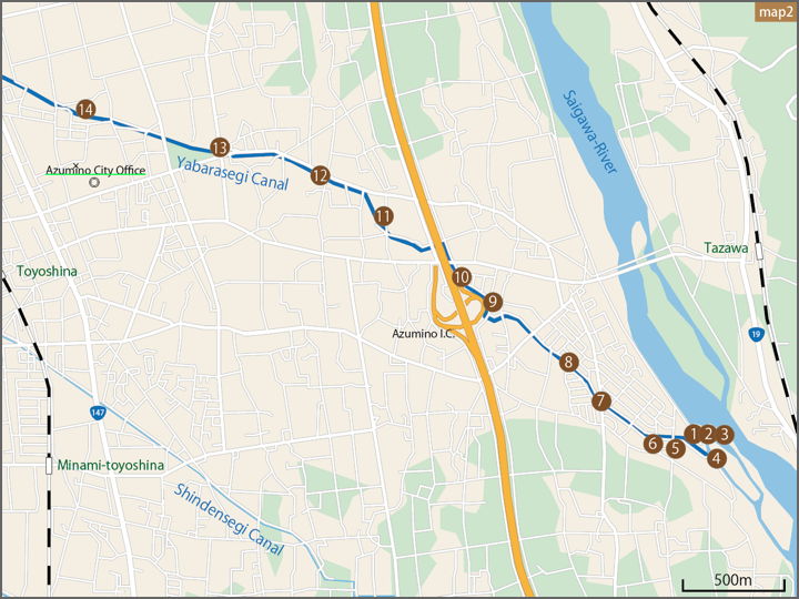
Again, the location of the photo was mapped out for your viewing.
This is the monument built in 1936.
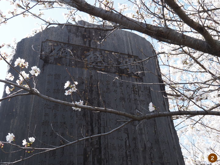
It tells the story of Yasaburo Usui, a village headman in Yabara, who repeatedly asked the Matsumoto clan to open a waterway but was refused. So he showed his determination by building a crucifixion pillar by himself and obtained permission for the construction.
To commemorate the accession of the Emperor Showa to the throne, a ceremony was held in 1928 to honor a person from the past in the area, and Yasaburo Usui was also honored, so the monument was built after that.
Looking down on the water intake from where the monument stands. Water is taken from the Saigawa River on the left and flows to the right.
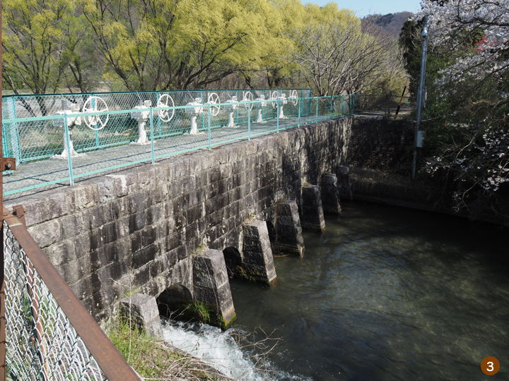
Moving a little south, the photo was taken from along the Saigawa River. On the left is the water intake in photo (3). Water is stored at the sluice gate on the right and directed to the intake on the left.
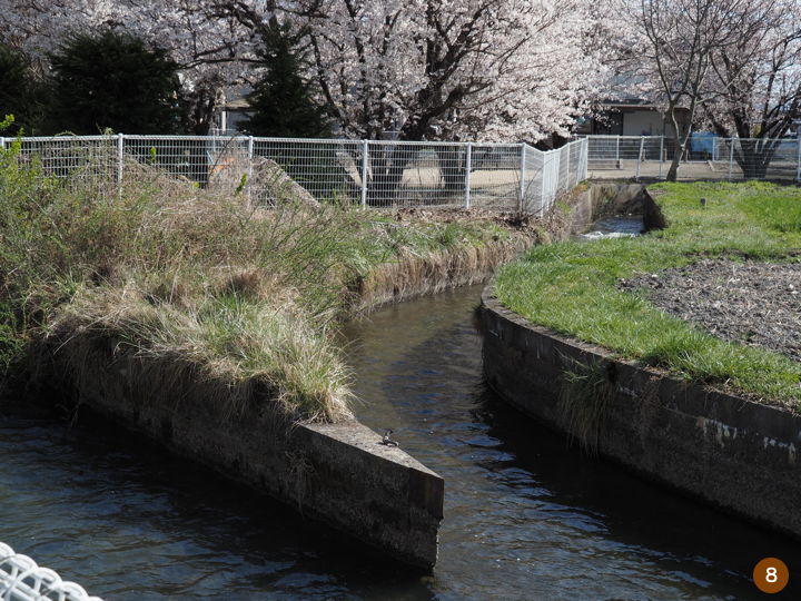
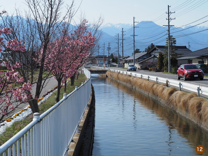
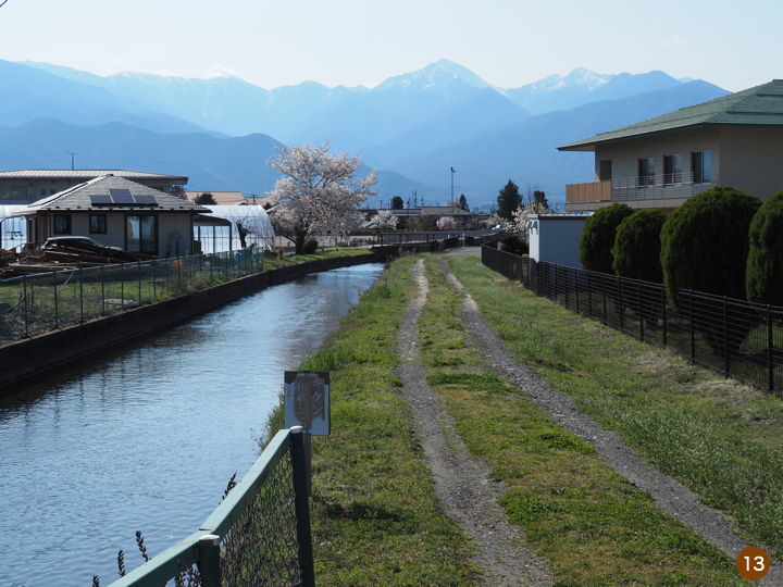
Riding along the waterway. The bicycle is photographed under the cherry blossoms.
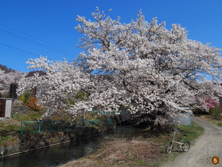
Petals are dancing in the wind.
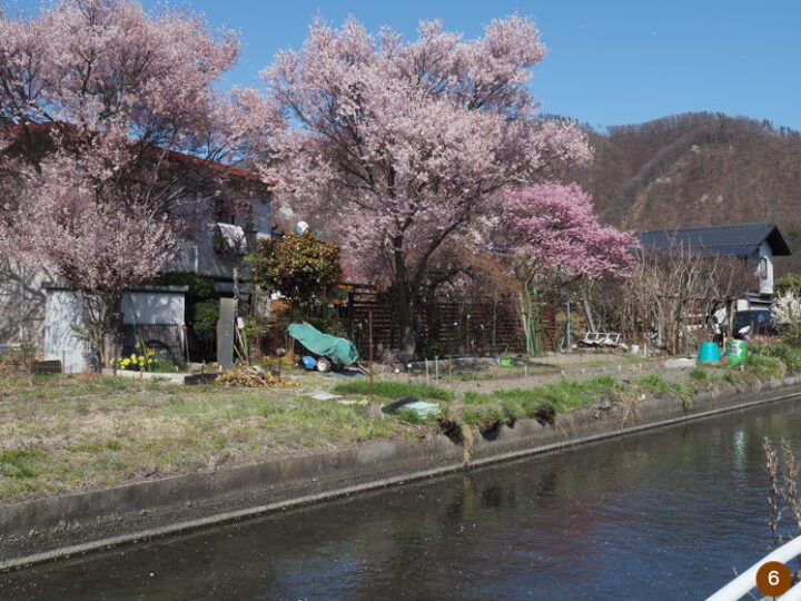
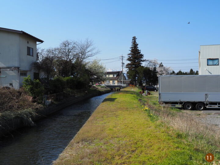
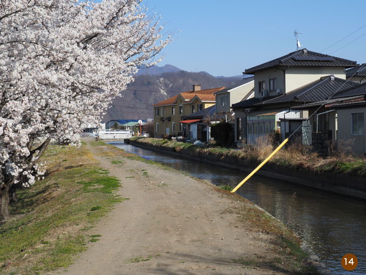
The canal runs through a residential area. The canal was there first, and the residential area was developed later.
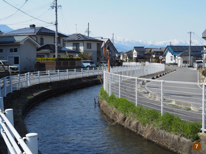
The waterway splits and merges here and there.
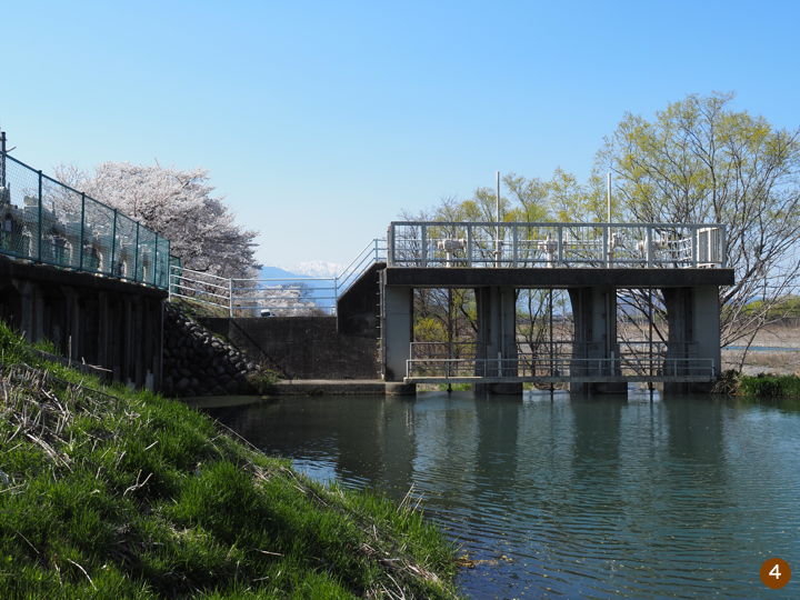
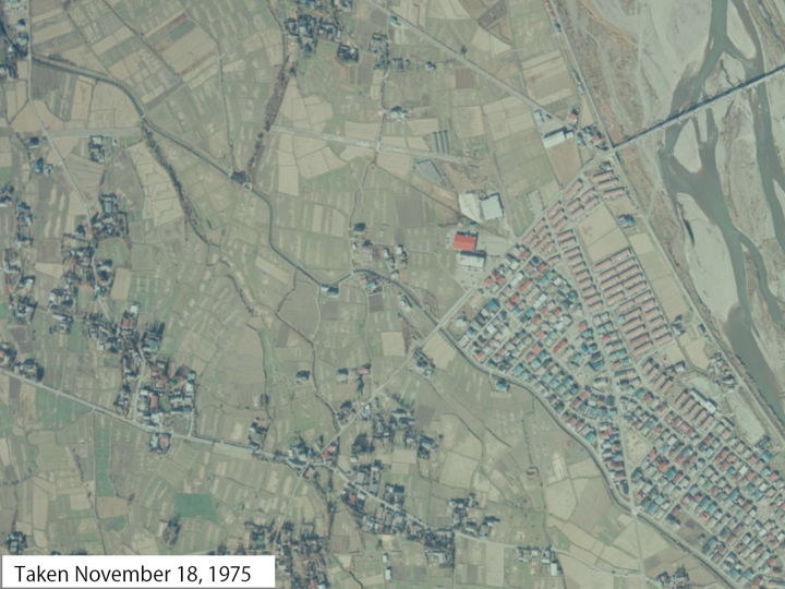
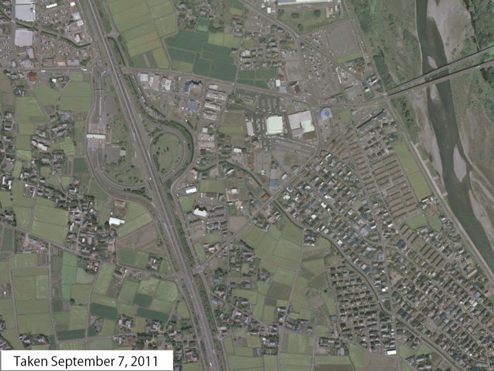
To the left is the wall of the entry way of Azumino Interchange. The waterway in this vicinity was changed by 467 meters as a result of the highway construction work.
Comparison of aerial photographs before and after the construction of the interchange. When it opened in August 1988, it was called the Toyoshina Interchange. In 2005, Toyoshina Town merged with four other towns and villages to form Azumino City, and the name of the interchange was changed to Azumino Interchange in 2012.
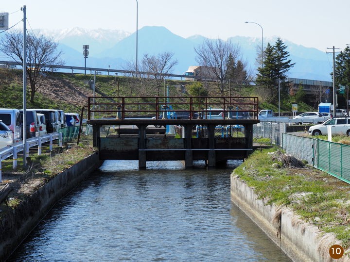
The highway is seen in the back. This sluice divides the channel into three waterway.
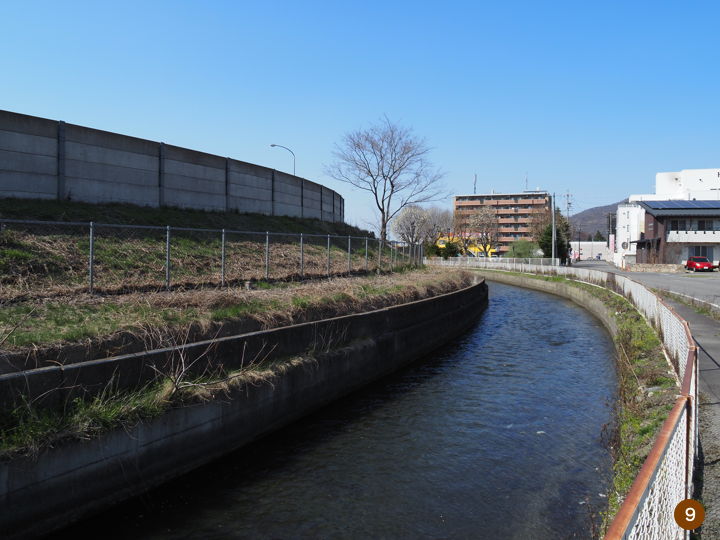
There is sections along the canal where there is no roadway. Walkers and bicyclists can pass through. However, there was a place where it was difficult to ride a bicycle.
This area is easy for bicycles because the roadway is divided into a roadway and a sidewalk/bike path.
This area is not paved, but the roadway is accessible to cars.
This is near Toyoshina Kita Junior High School.
This is the first half. The second half will be in the next article.
(to be continued)